Active
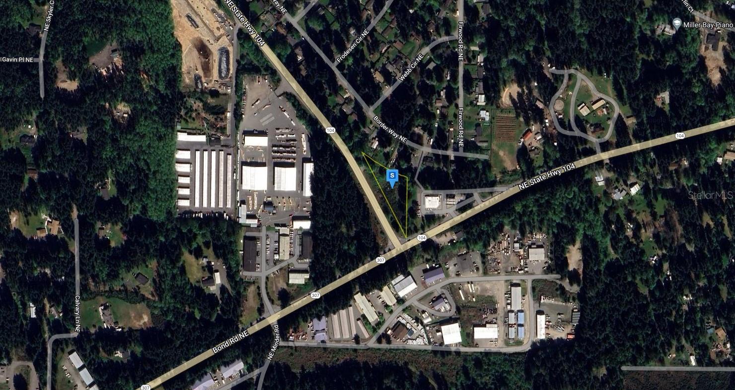
26530 BOND RD NE
$242,999
Features:
Property Details
Remarks
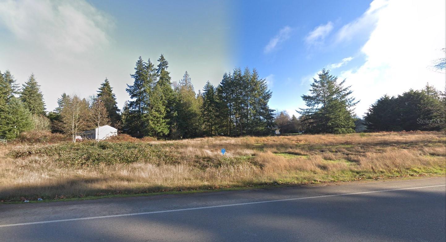
This 0.84-acre lot could be the spot for your next dream home. Power available nearby. Out of state investor. Buyer to verify lot dimensions, utilities, restrictions and feasibility before purchase. The address used in the listing may be a placeholder. This is a flat fee limited-service listing. Call the number on the listing and that will connect you with the correct person to inquire about the property. I make it my policy to put all known information about each lot in the write-up details, so if you don’t see the answer you’re looking for, contact the county to gather additional information. Please understand that when buying or selling vacant land this is usually the case. The listing agent does not guarantee the accuracy of the information in this listing and is to be held harmless of any misrepresentations. Buyers are encouraged to do their own due diligence. Sellers have stated that they wish to select the title agency for closing. They are willing to cover that cost at closing.
Financial Considerations
Price:
$242,999
HOA Fee:
N/A
Tax Amount:
$131920
Price per SqFt:
$6.64
Tax Legal Description:
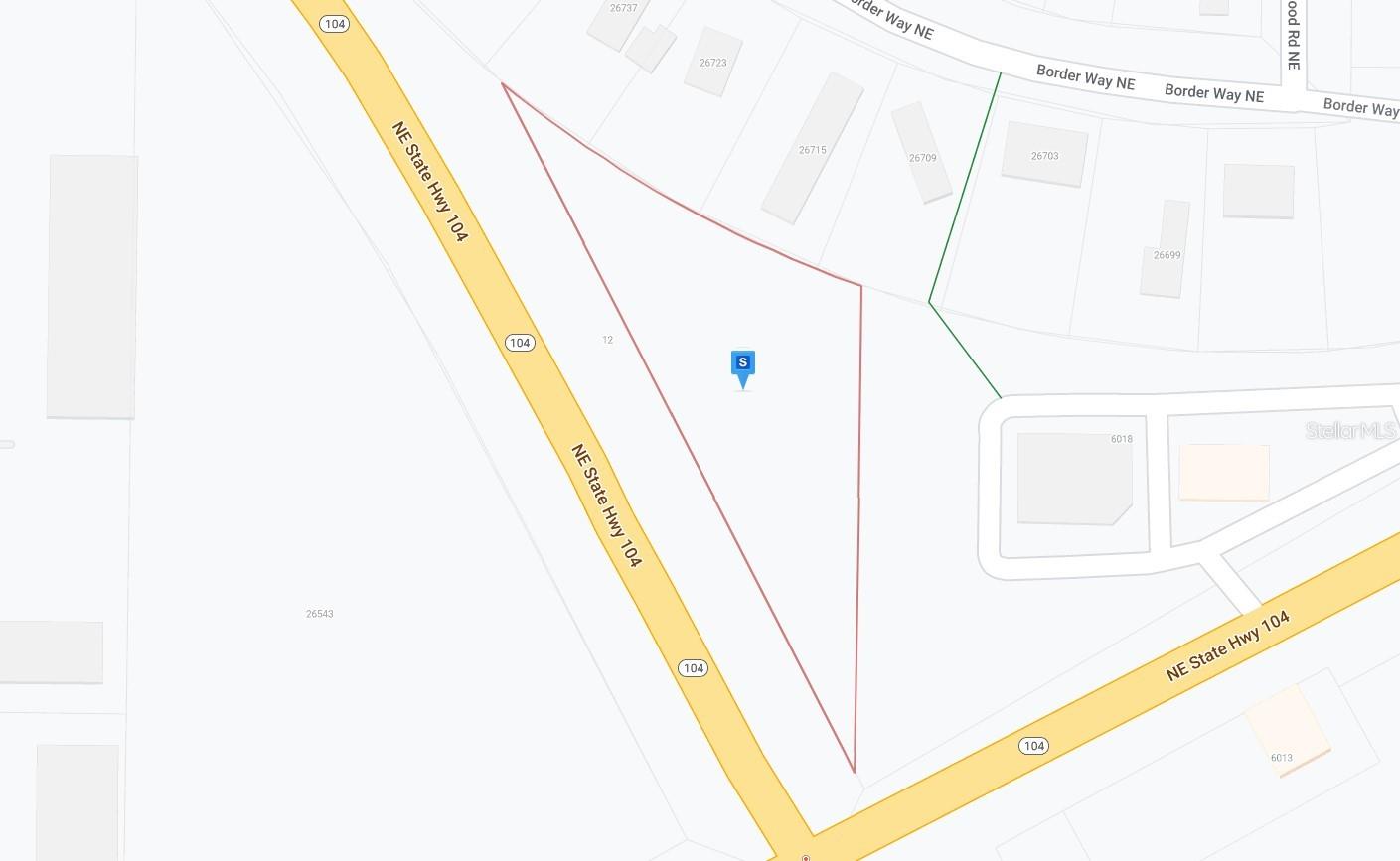
The East 484.26 Feet Of The West 899.86 Feet Of That Portion Of The Northeast Quarter, Section 29, Township 27 North, Range 2 East, W.M., Kitsap County, Washington Lying Northwesterly Of Right Of Way Of Bond Road As Conveyed To Kitsap County By Deeds Recorded Under Auditors File Nos. 584360 And 858774, And Lying Southerly Of State Route 104 (Formerly State Highway No. 21); Also Known As Lot A Short Plat 1058 Recorded Under Auditors File No. 7708090169; Except The Following Described Property Per Sc#91-2-01465-7 And Highway Plat Port Gamble Road To Bond Road Vicinity Sr104: That Part Of The Following Described Tract X Lying Southwesterly Of A Line Described As Beginning At Highway Engineers Station 200+56.91 On The Sr104 Line Survey Of Sr
Exterior Features
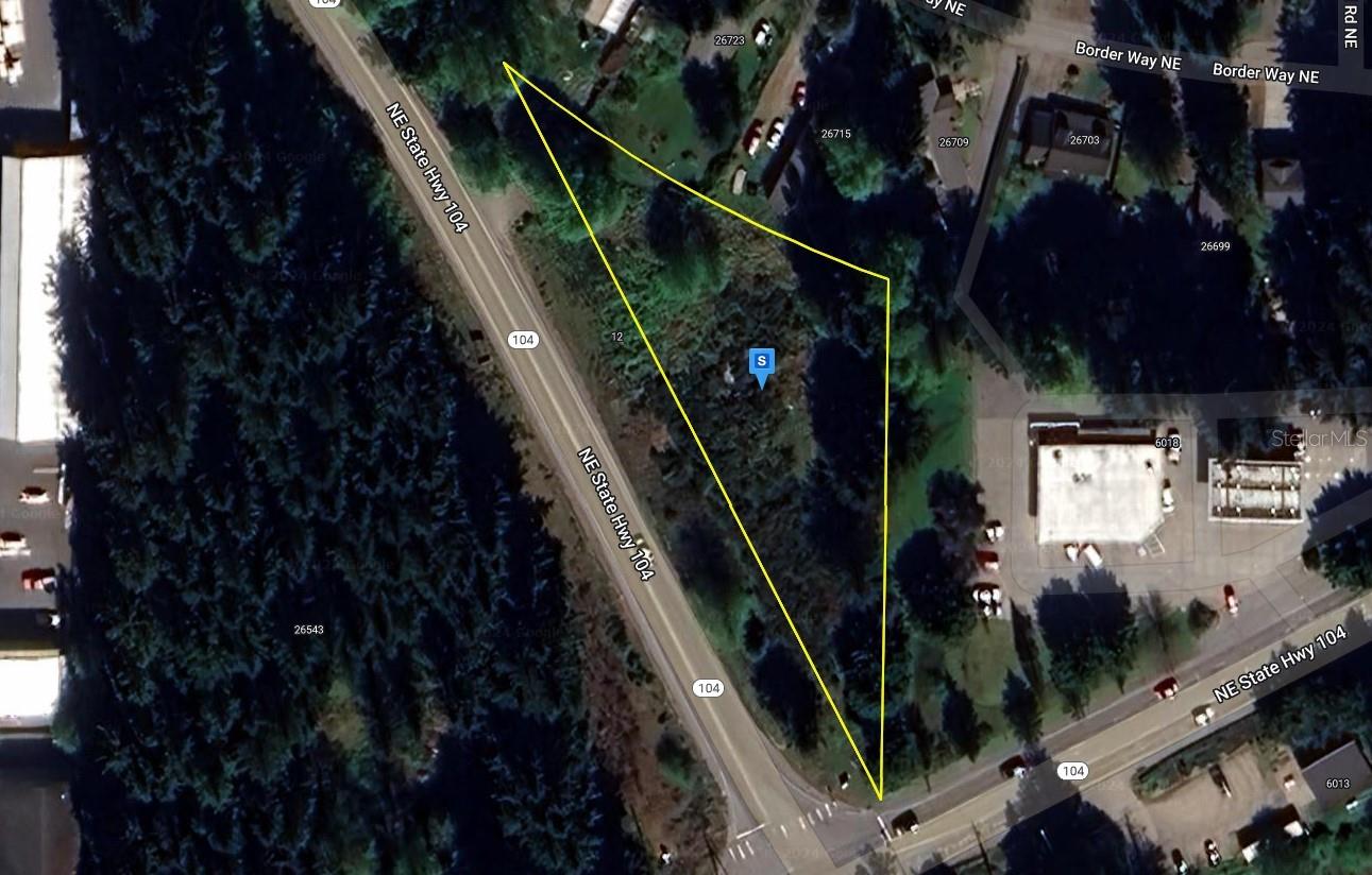
Lot Size:
36590
Lot Features:
N/A
Waterfront:
No
Parking Spaces:
N/A
Parking:
N/A
Roof:
N/A
Pool:
No
Pool Features:
N/A
Interior Features
Bedrooms:
Bathrooms:
0
Heating:
N/A
Cooling:
N/A
Appliances:
N/A
Furnished:
No
Floor:
N/A
Levels:
N/A
Additional Features
Property Sub Type:
N/A
Style:
N/A
Year Built:
N/A
Construction Type:
N/A
Garage Spaces:
No
Covered Spaces:
N/A
Direction Faces:
N/A
Pets Allowed:
Yes
Special Condition:
None
Additional Features:
N/A
Additional Features 2:
N/A
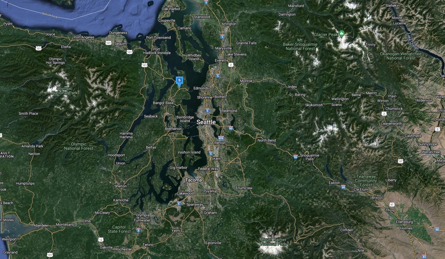
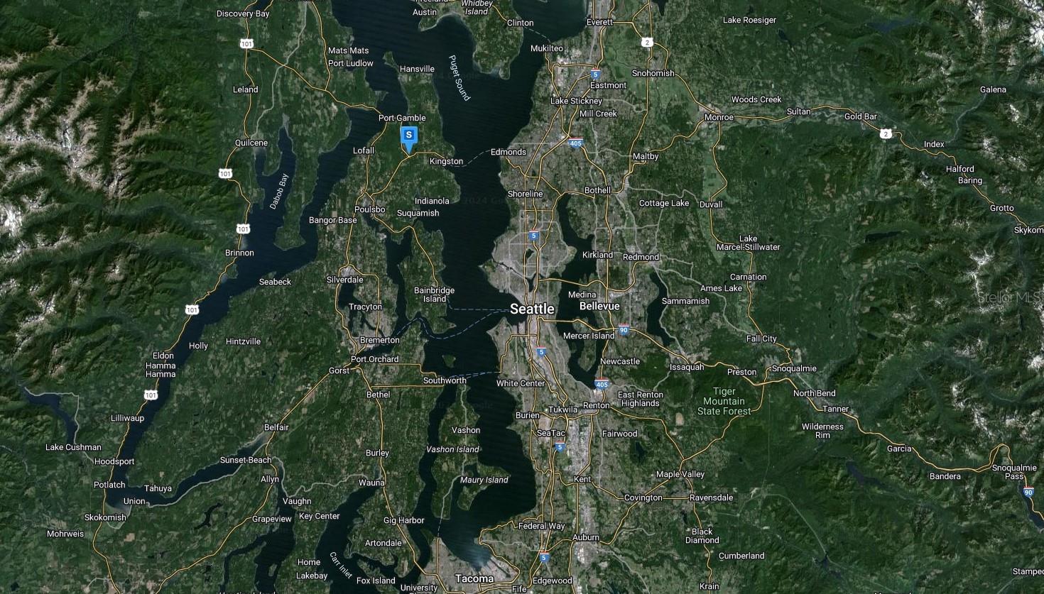
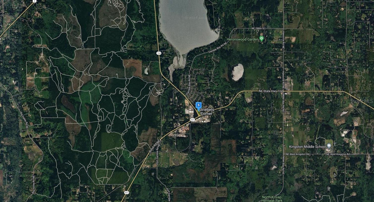
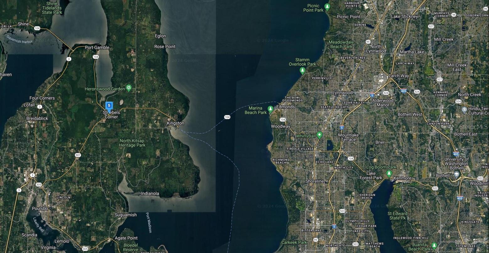
Map
- Address26530 BOND RD NE
Contact a Professional

Featured Properties
Related Properties
- Featured
- Active
7820 MIDNIGHT PASS
$ 989,000
- Featured
- Active
PR 6684 BUENA VISTA KM HM 2.5
$ 365,000
- Featured
- Active
466 LONG AND WINDING RD
$ 200,000
- Featured
- Active
BO ESPINAL
$ 200,000
- Featured
- Active
908 COCKRILL ST
$ 299,000
- Featured
- Active
PUNKIN CENTER RD
$ 549,900
- Featured
- Active
2ND ST E
$ 249,900
- Featured
- Active
11441 W BROWN PELICAN PATH
$ 979,000
- Featured
- Active
TBD NE 75TH ST
$ 469,000
- Featured
- Active
TBD NE 75TH ST
$ 395,000
- Featured
- Active
CALHOUN RD
$ 225,000
- Featured
- Active
7502 N 40TH ST