Active
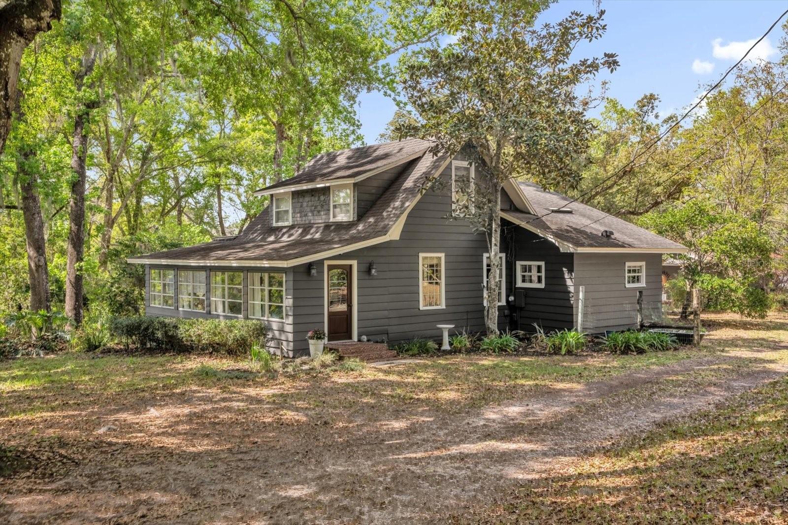
331 OLD EUSTIS RD
$515,000
Features:
Property Details
Remarks
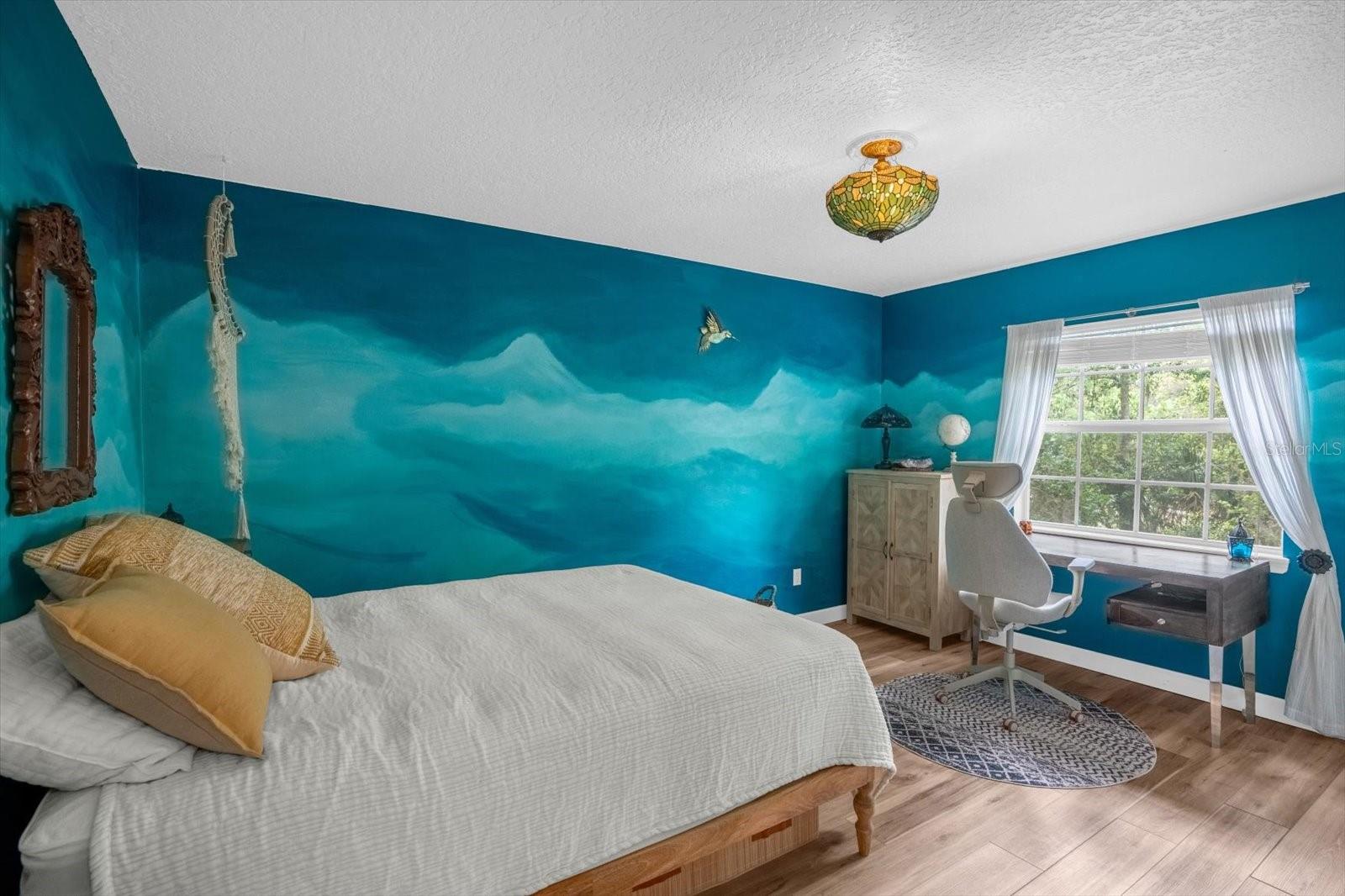
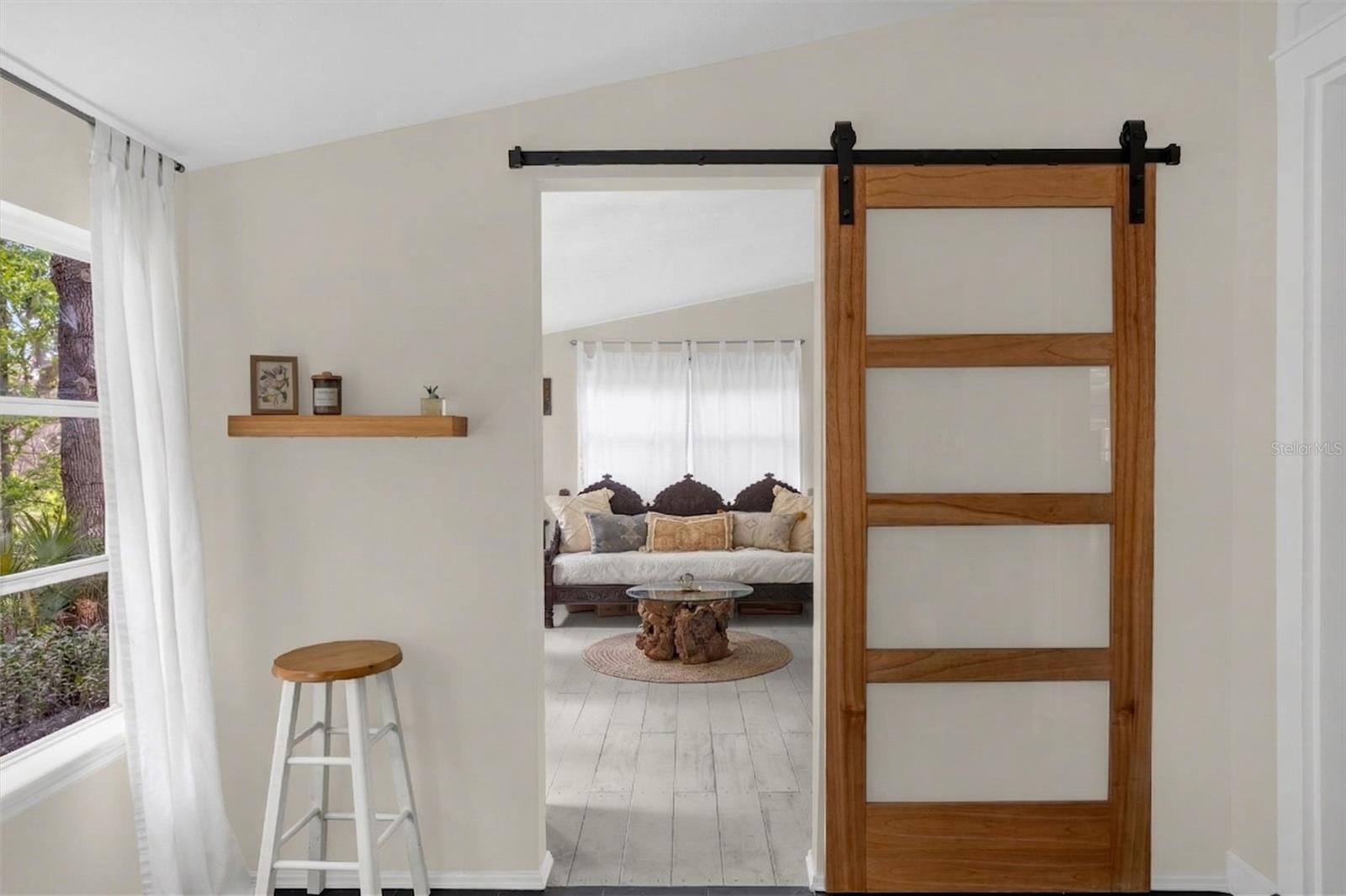
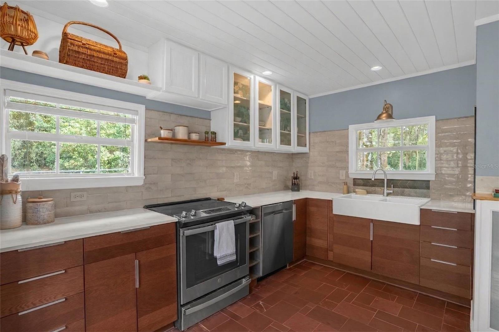
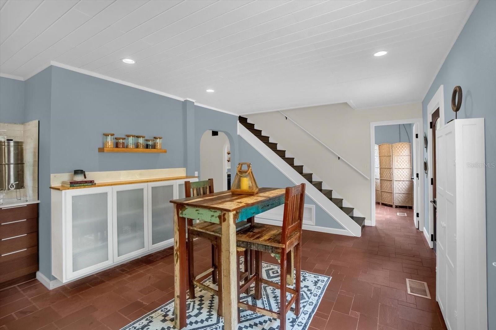
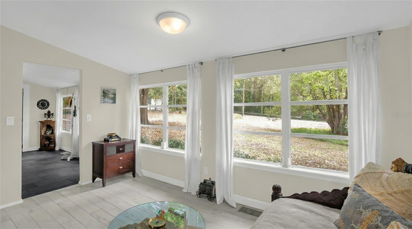
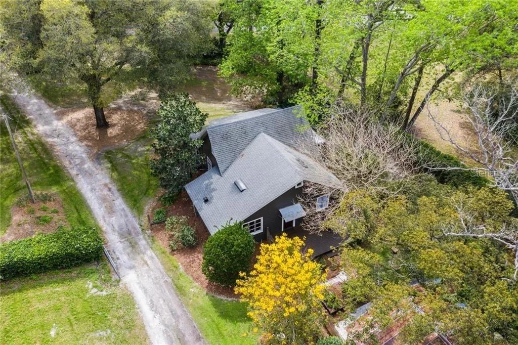
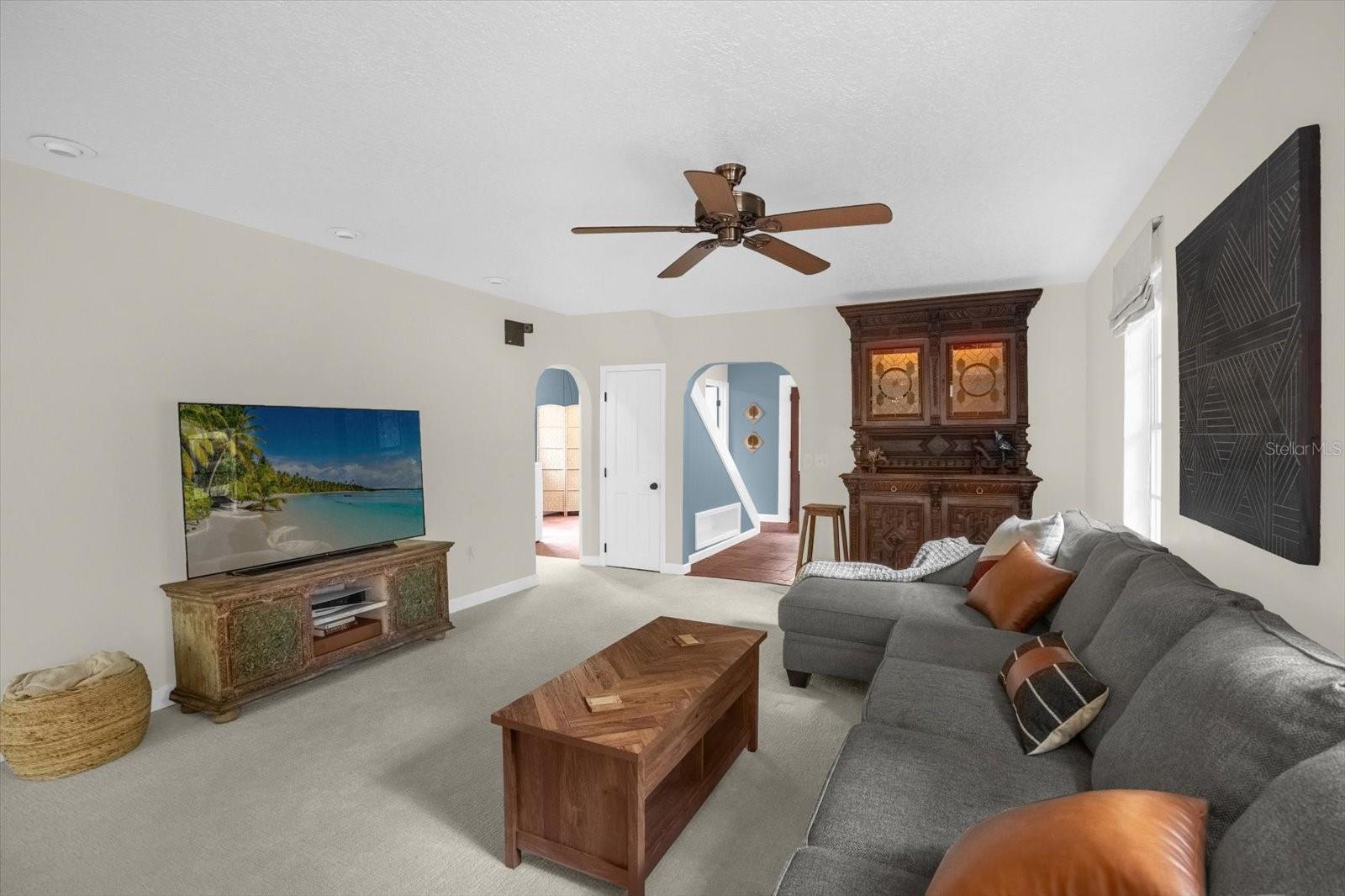
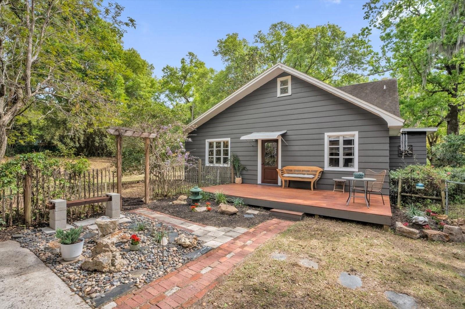
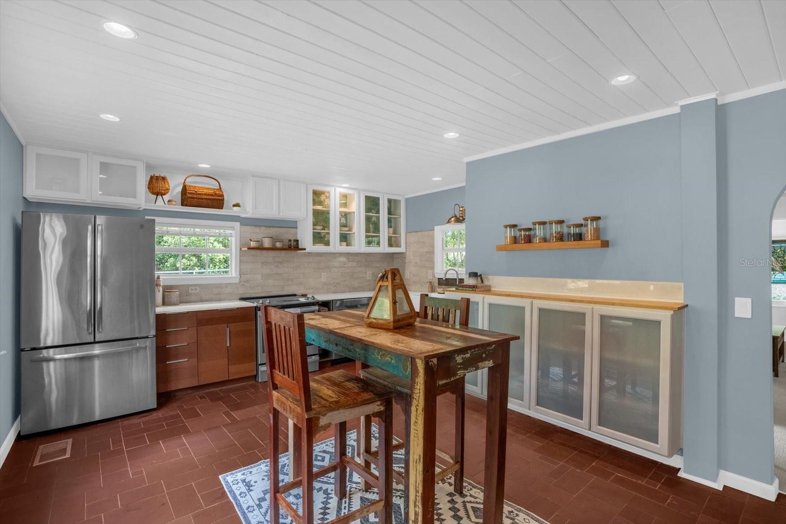
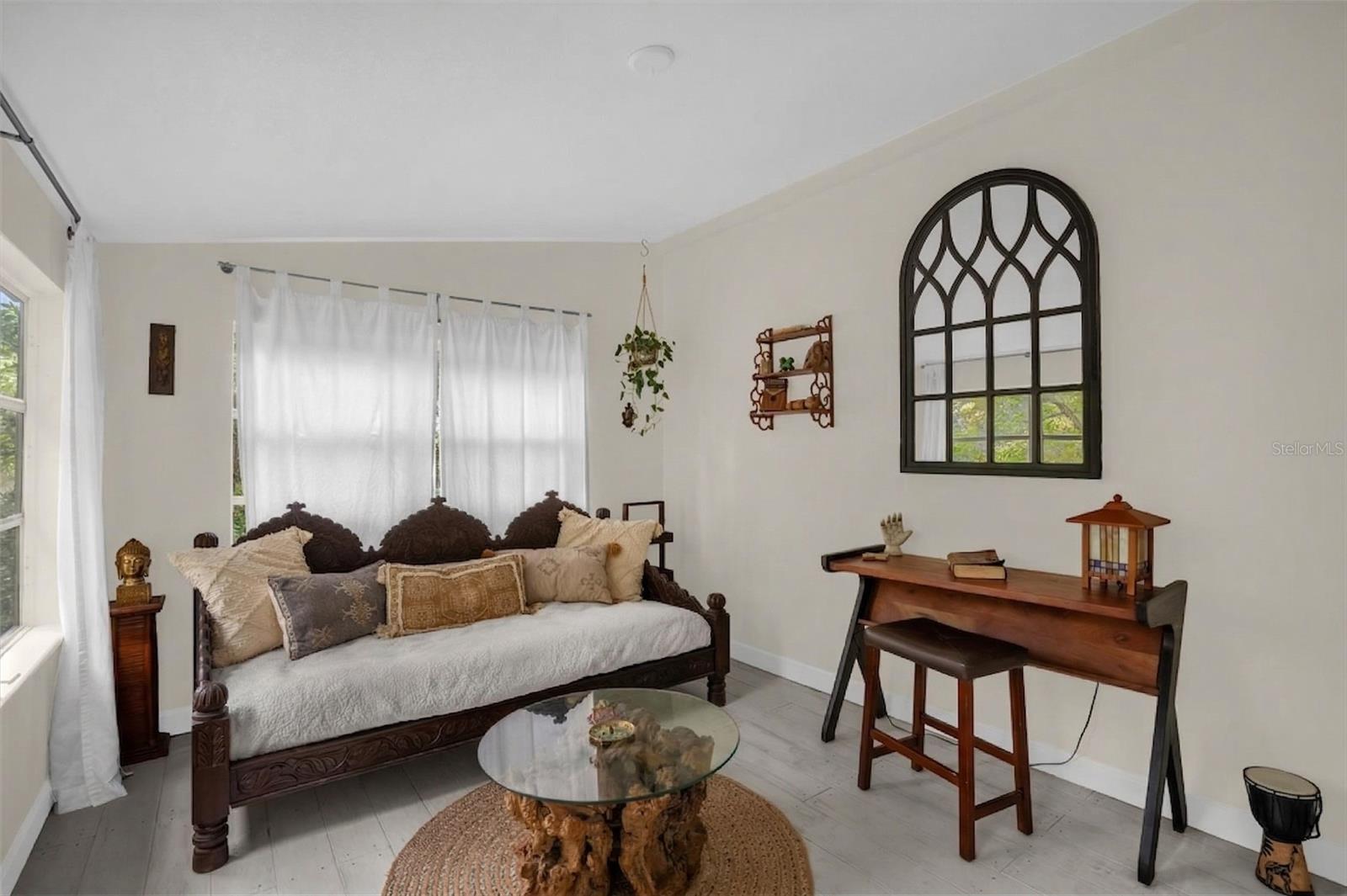
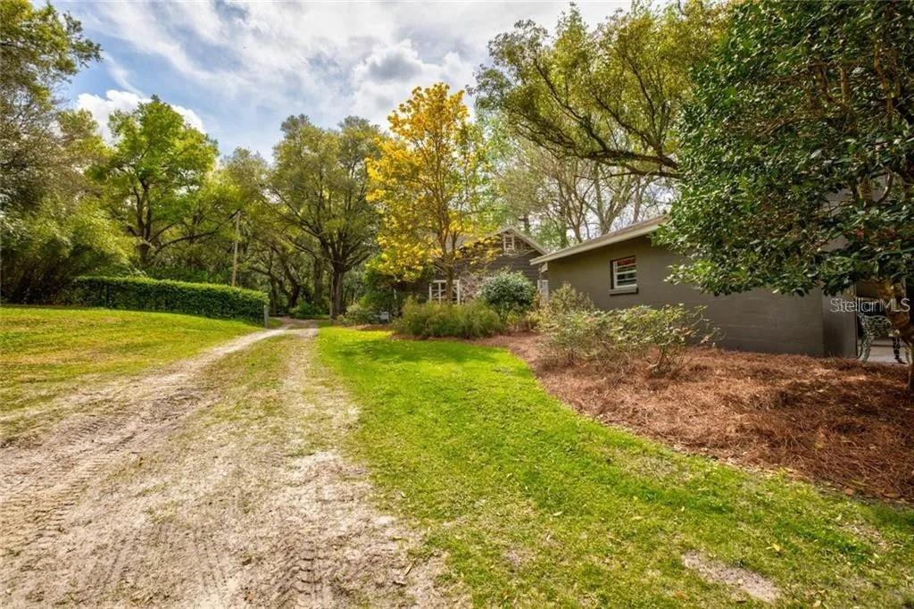
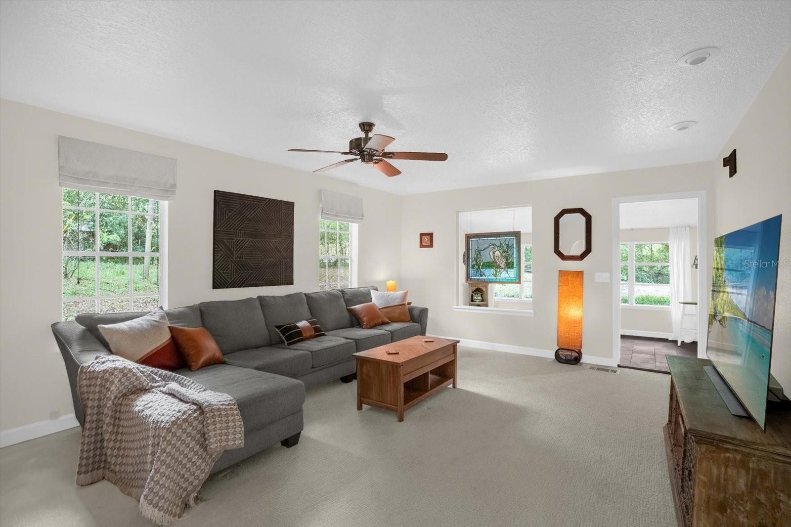
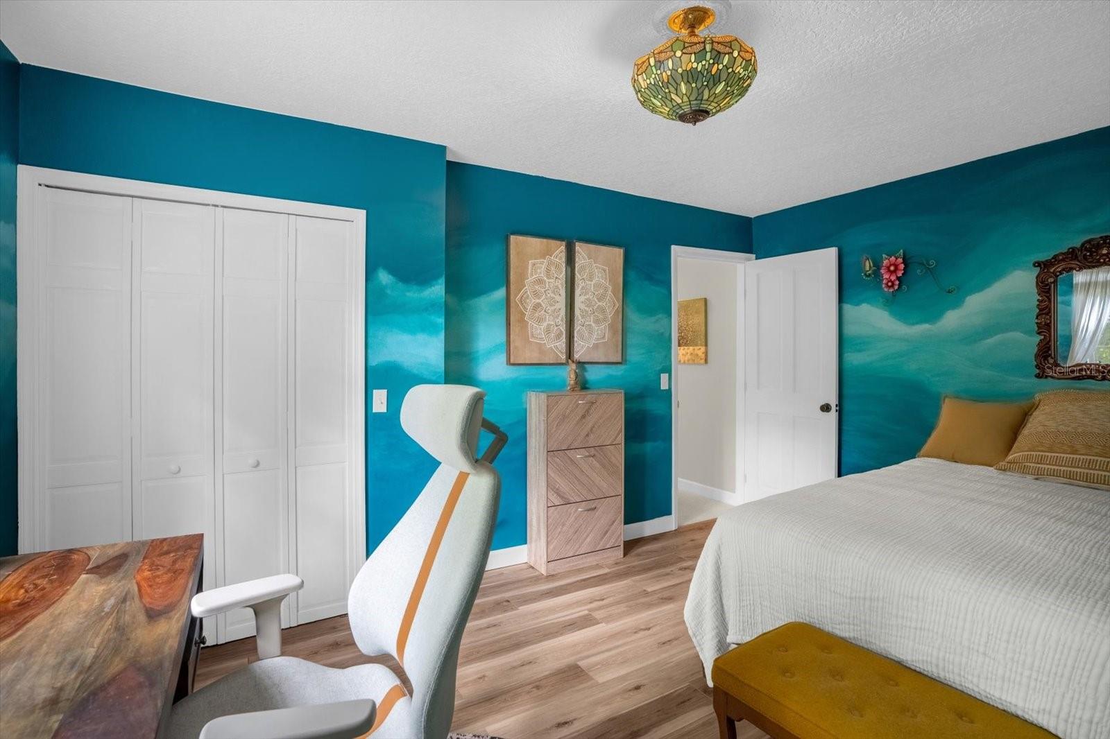
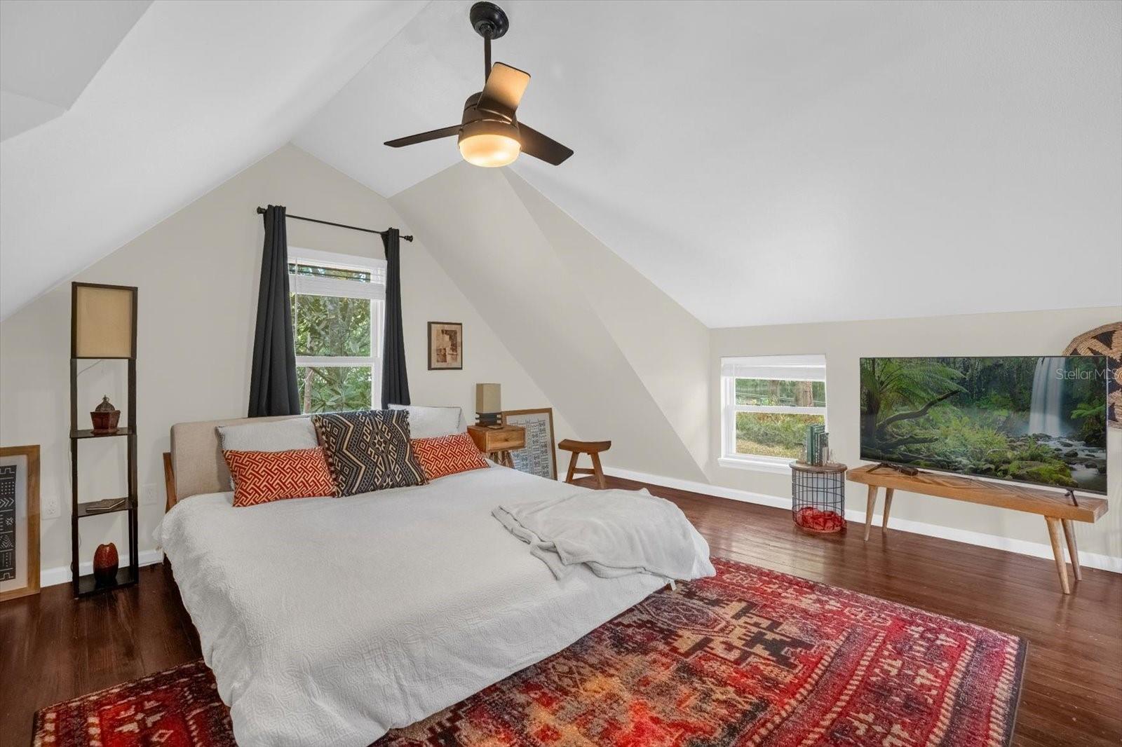
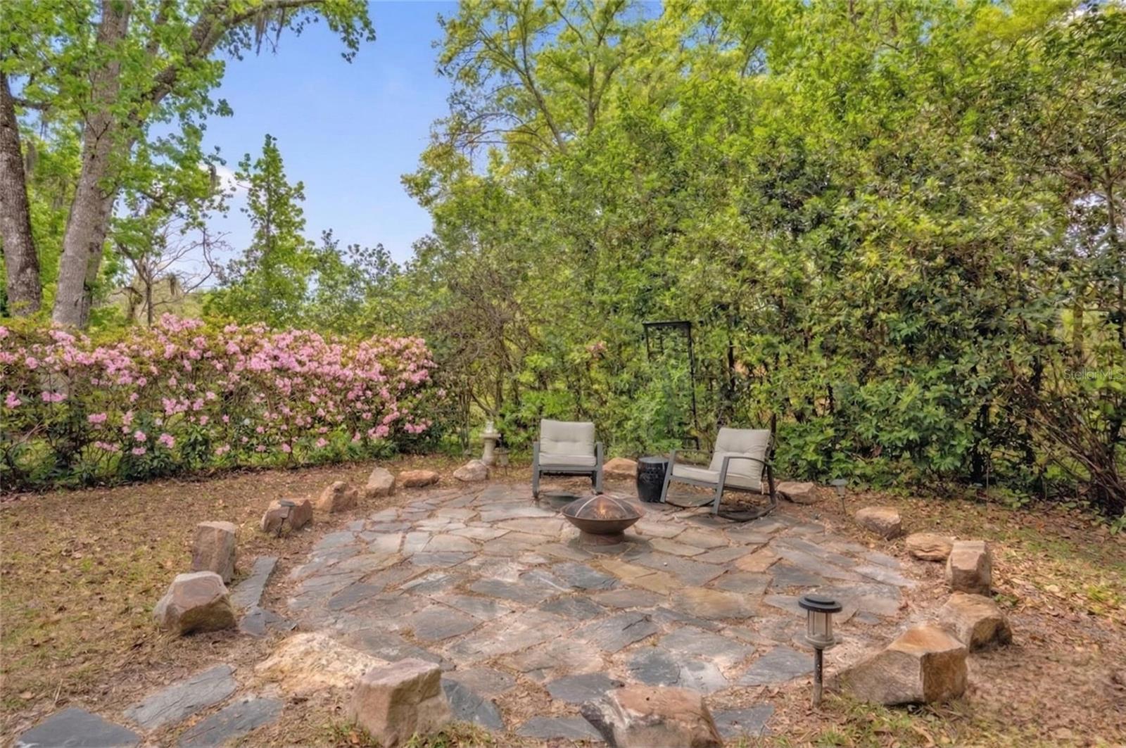
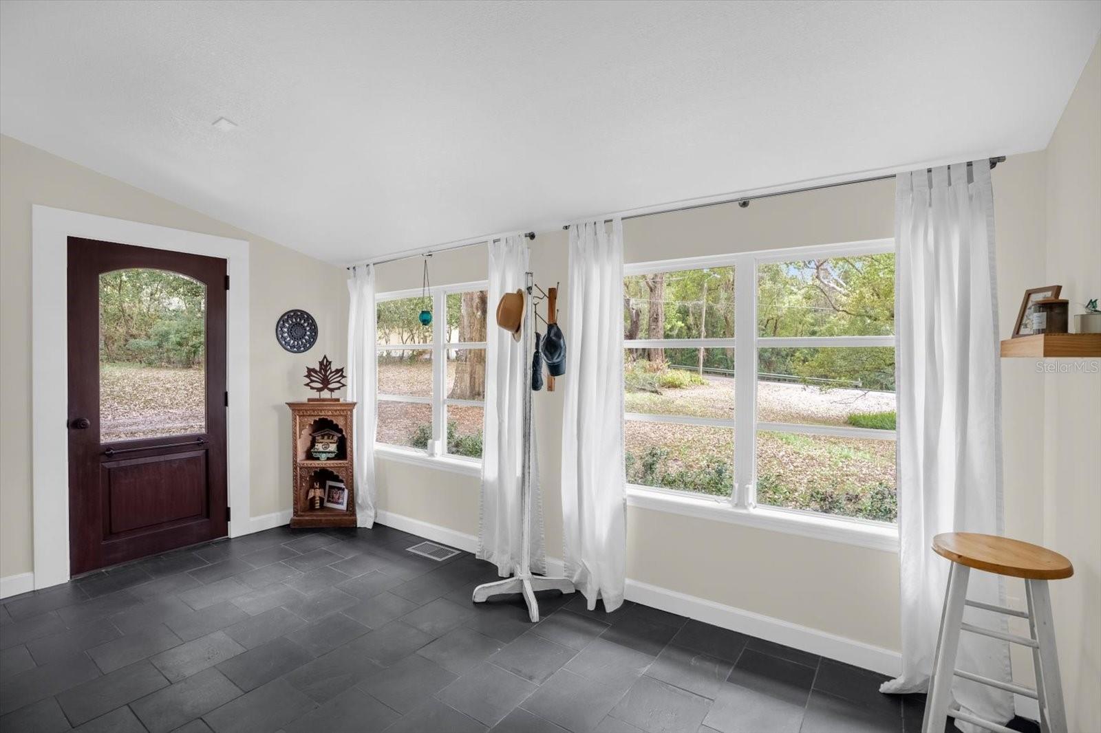
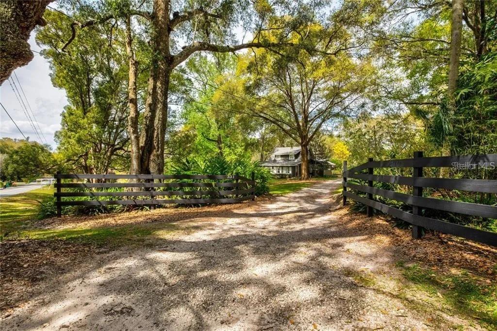
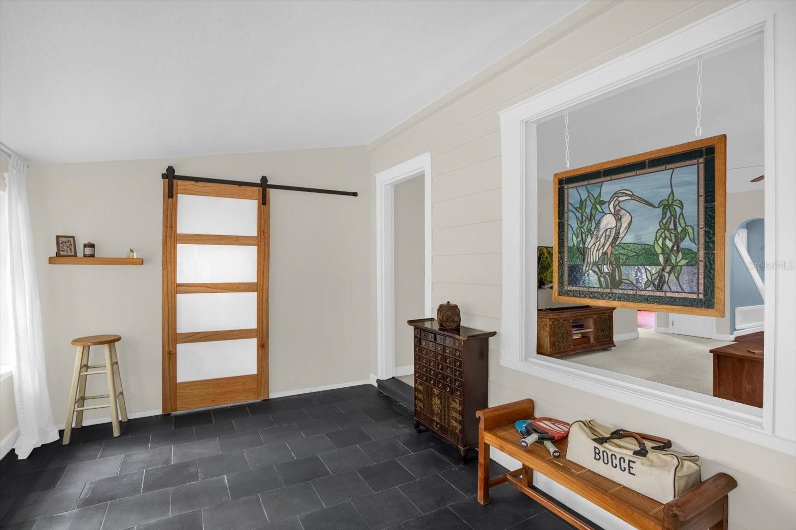
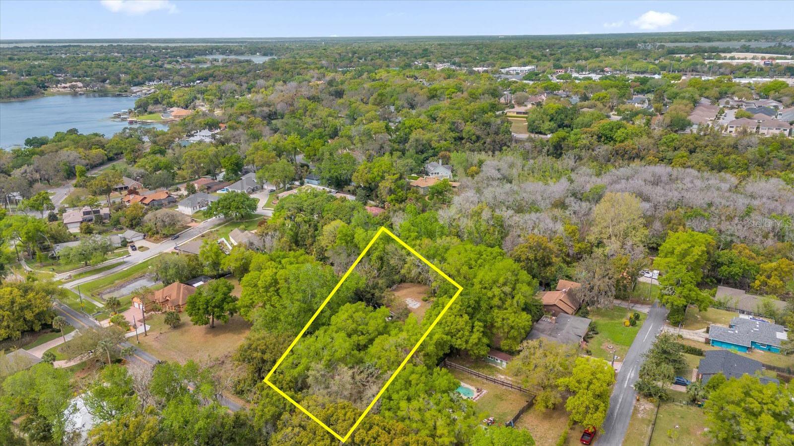
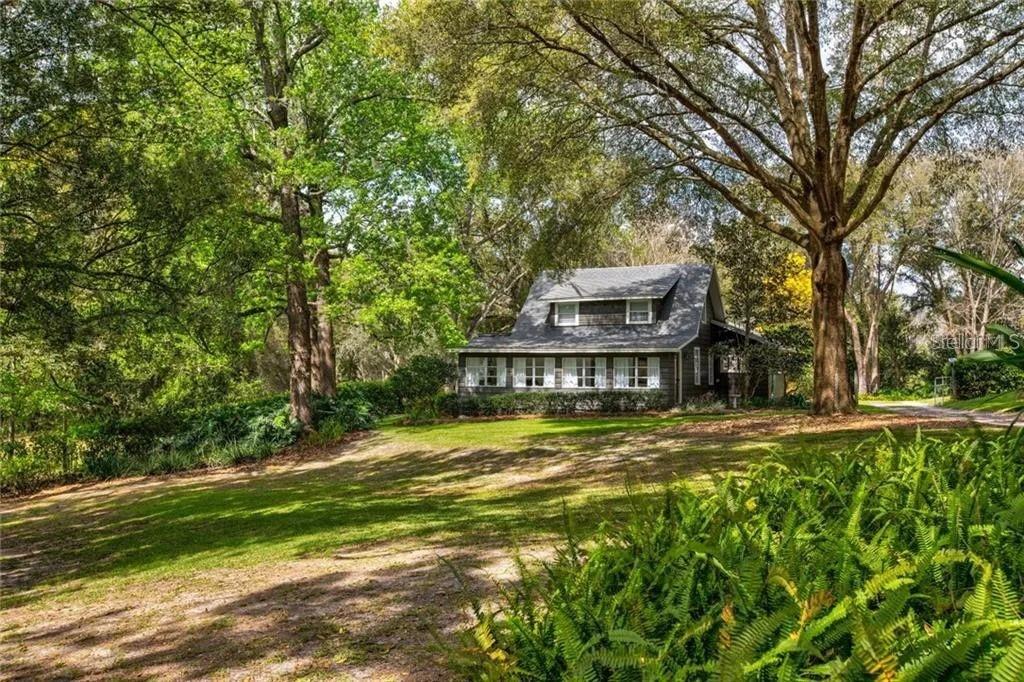
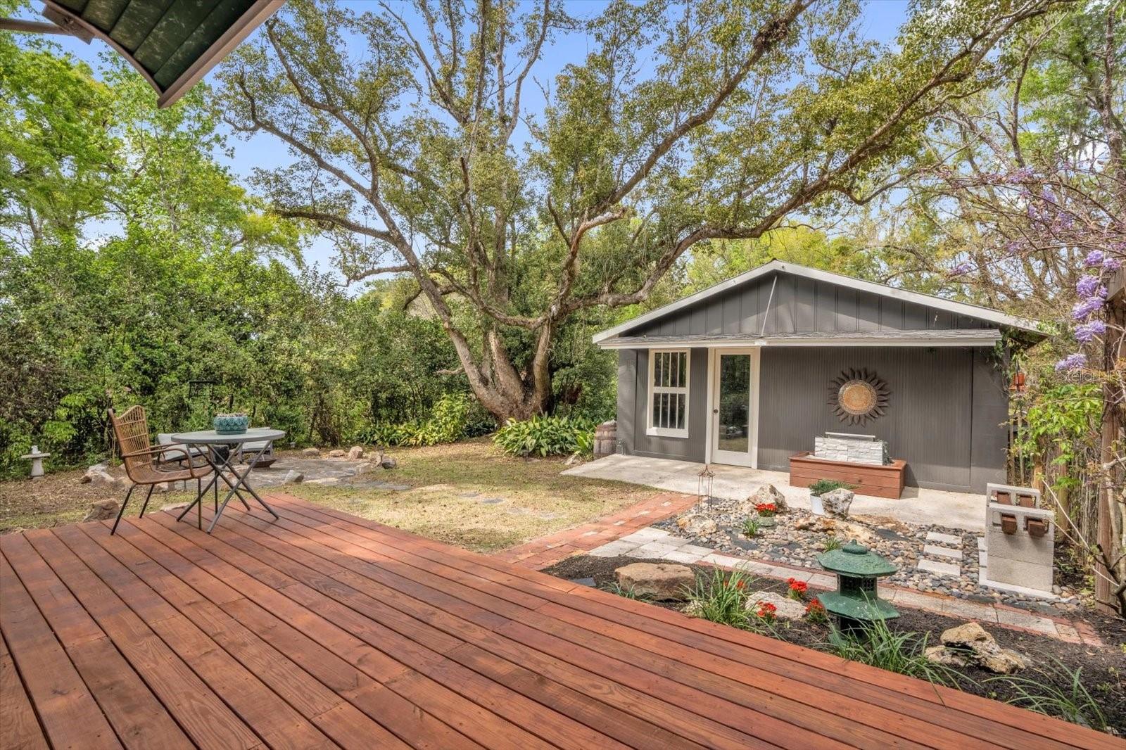
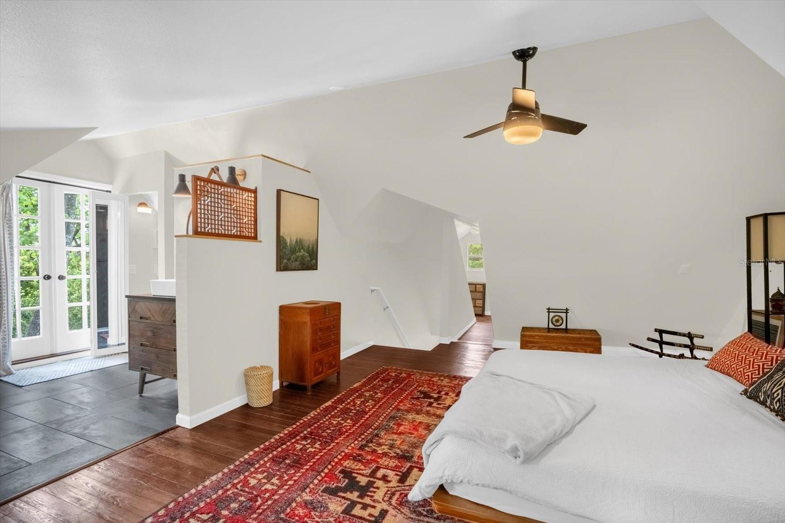
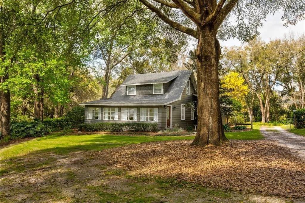
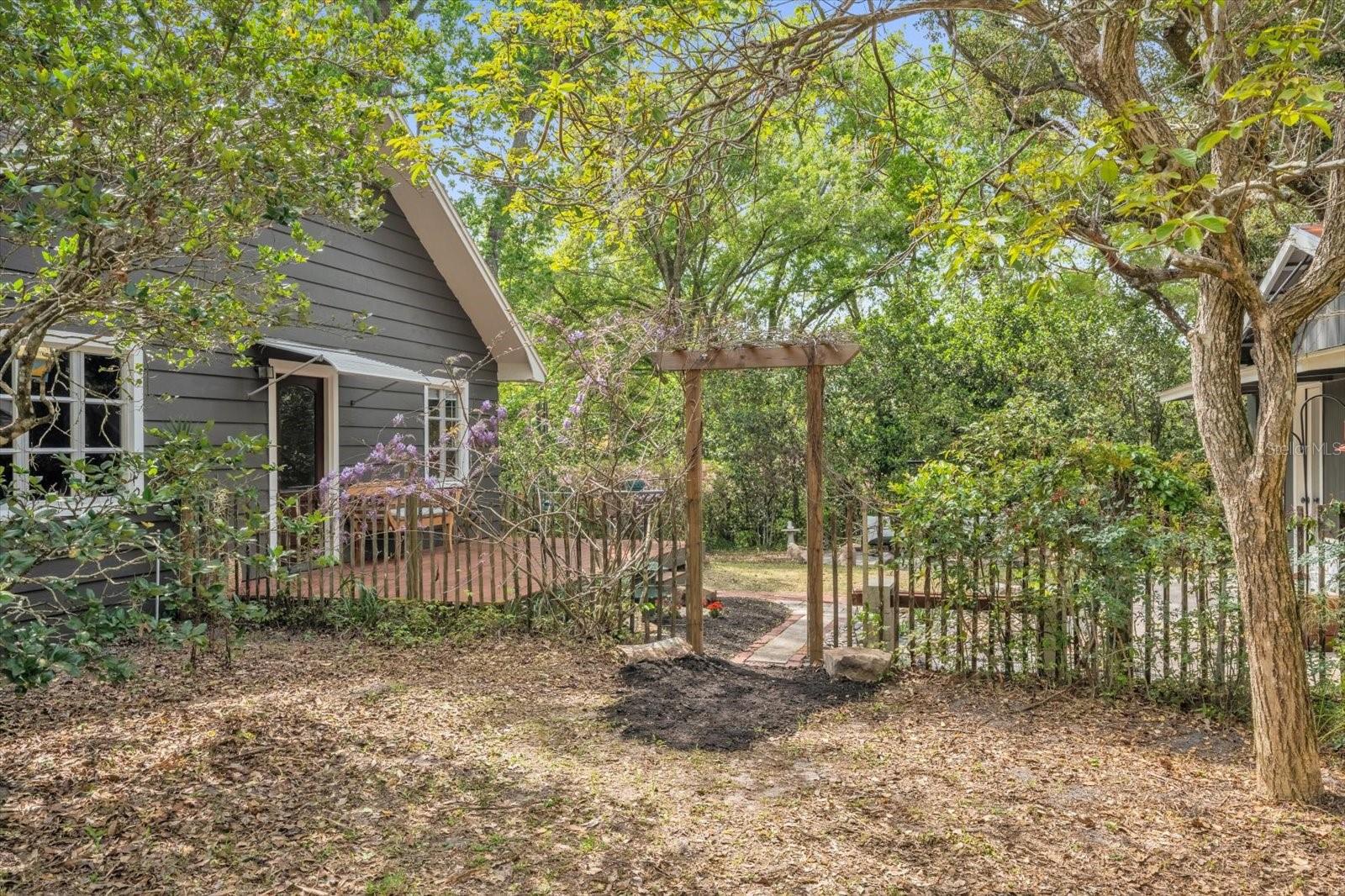
A zen oasis in the heart of historic Mount Dora — one mile from downtown, yet a world of its own. Sitting on just over an acre of lushly landscaped grounds, this is the kind of land, privacy, and stillness you rarely find so close to everything. This is the peaceful rhythm of rural living without sacrificing a single convenience. The property backs up to natural woodland, and the land itself is fully irrigated and thoughtfully laid out for growing your own food, cultivating a garden, or building a true homestead harvest — a natural canvas for creating a life that's genuinely yours. The home itself carries the warmth and soul of historic Mount Dora, beautifully updated with modern finishes that honor the original character without losing what made it special. Expect regular visits from cardinals, hummingbirds, and butterflies, hawks soaring overhead, owls calling at dusk, and nights under shimmering stars you can actually see. Properties like this don't come around often. This much land. This much privacy. This central. Come experience it for yourself.
Financial Considerations
Price:
$515,000
HOA Fee:
N/A
Tax Amount:
$5605
Price per SqFt:
$292.61
Tax Legal Description:
A portion of Tract B, Mount Dora Sunset Heights, according to the plat thereof as recorded in Plat Book 3, Page 34, Public Records of Lake County, Florida, being more particularly described as follows: From the Southeast corner of Section 19, Township 19 South, Range 27 East, run West 1,322.60 feet; thence run North 04°30'00" East 132.96 feet to the northerly right-of-way line of Eustis-Mount Dora Road and the Point of Beginning; thence continue North 04°30'00" East 300.00 feet; thence run North 74°35'20" West, parallel with said right-of-way line, 150.00 feet; thence run South 04°30'00" West 300.00 feet to said northerly right-of-way line; thence run South 74°35'20" East along said northerly right-of-way line 150.00 feet to the Point of Beginning. Being part of Tract B, Mount Dora Sunset Heights, according to the plat thereof recorded in Plat Book 3, Page 34, Public Records of Lake County, Florida. Also referenced in Official Records Book 5454, Page 799
Exterior Features
Lot Size:
44186
Lot Features:
City Limits, Landscaped, Oversized Lot, Private
Waterfront:
No
Parking Spaces:
N/A
Parking:
Guest, Workshop in Garage
Roof:
Shingle
Pool:
No
Pool Features:
N/A
Interior Features
Bedrooms:
3
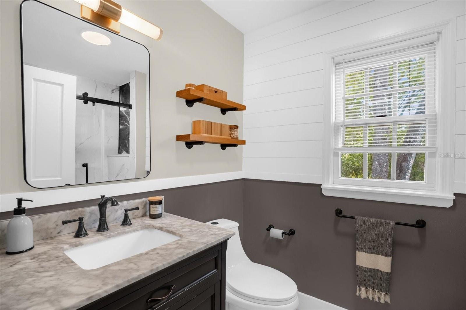
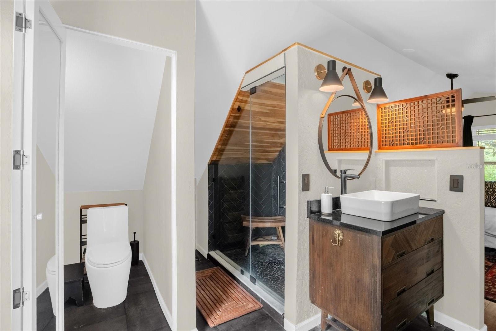
Bathrooms:
2
Heating:
Central, Electric, Ductless
Cooling:
Central Air, Wall/Window Unit(s)
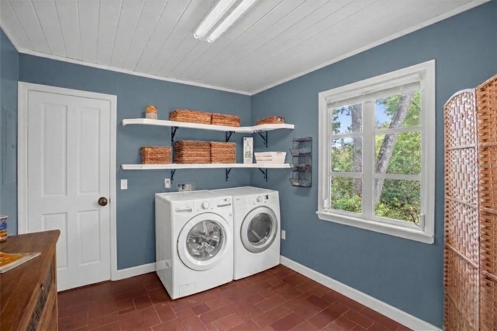
Appliances:
Built-In Oven, Dishwasher, Dryer, Electric Water Heater, Refrigerator, Washer
Furnished:
Yes
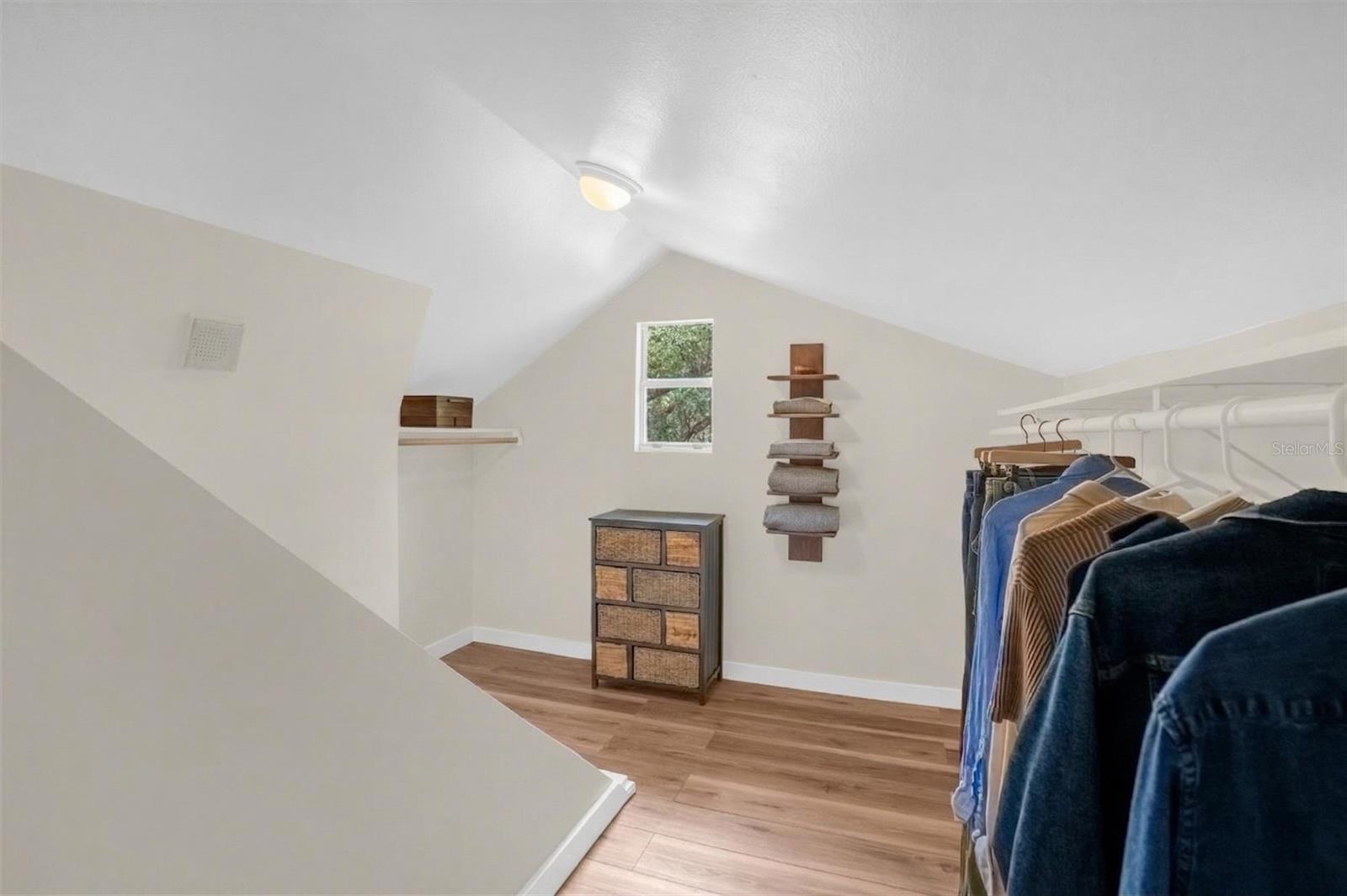
Floor:
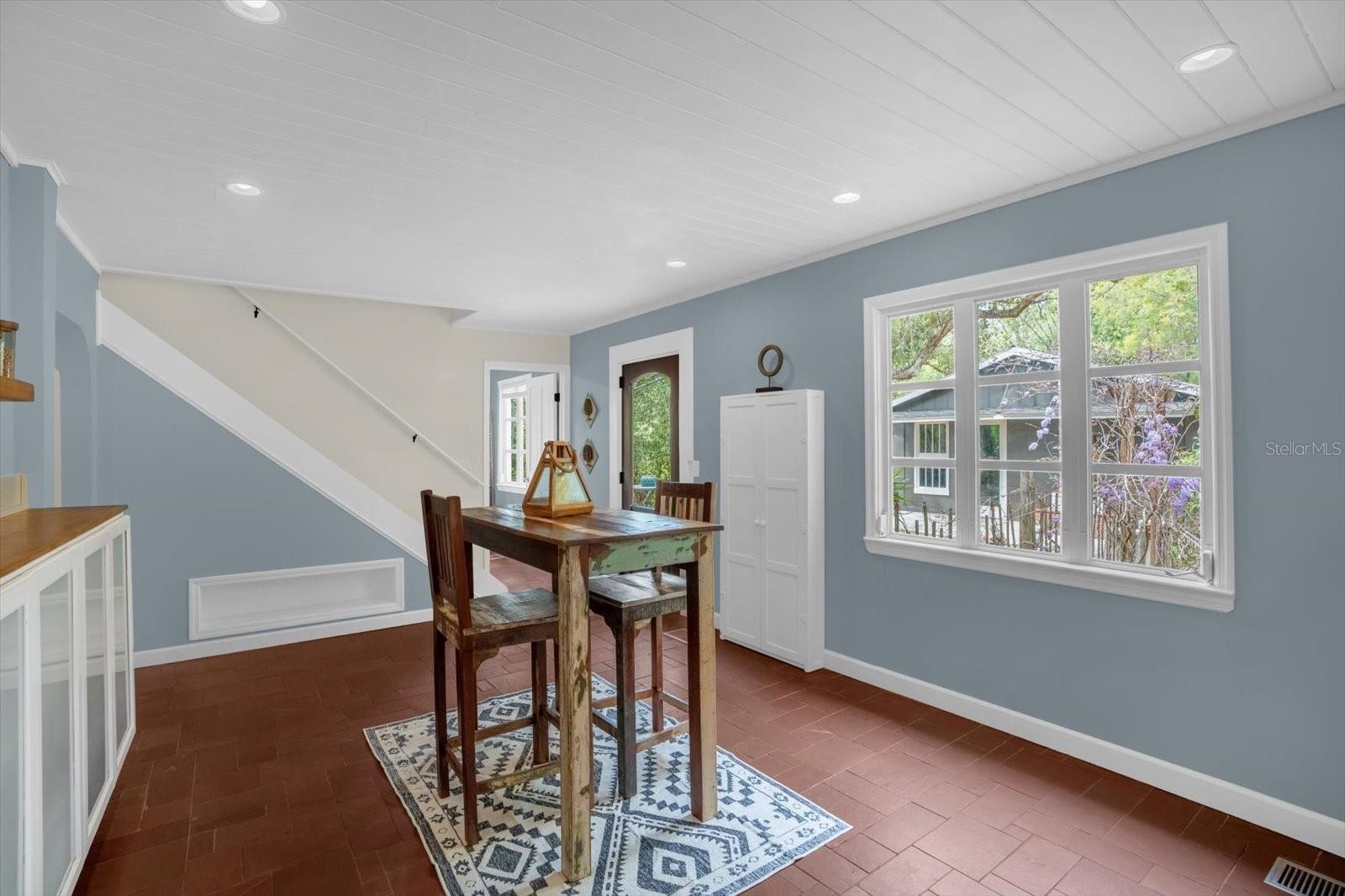
Carpet, Luxury Vinyl, Tile, Slate, Wood
Levels:
One
Additional Features
Property Sub Type:
Single Family Residence
Style:
N/A
Year Built:
1937
Construction Type:
Frame, Wood Siding
Garage Spaces:
Yes
Covered Spaces:
N/A
Direction Faces:
West
Pets Allowed:
No
Special Condition:
None
Additional Features:
Awning(s), Fire Pit, Private Yard
Additional Features 2:
N/A
Map
- Address331 OLD EUSTIS RD
Contact a Professional

Featured Properties
Related Properties
$ 425,000
- Featured
- Active
Single Family Residence
2649 RAINBOW SPRINGS LN
$ 465,000
- Featured
- Active
Single Family Residence
6229 FISH EAGLE CT
$ 775,000
$ 390,000
- Featured
- Active
Single Family Residence
11830 NEWBERRY GROVE LOOP
$ 735,000
$ 349,900
$ 795,000
$ 659,000
$ 475,000
$ 379,990
$ 249,000